- Published on
Introducing Fielda Freedom
- Authors

- Name
- Robert Claypool
Freedom to innovate. Freedom to connect.
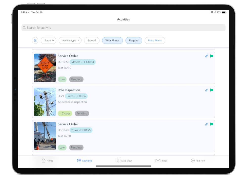
Last month we launched Fielda Freedom - a redesigned, next-generation platform for field workers to manage and document inspections, service orders, and more. It gives split-second access to your assets - with or without a steady Internet connection - and real-time data feeds from a variety of sources are easy to plug in. (more on that later)

Field activities can be tough to manage. Maybe they start simple and branch into sub-tasks. Maybe they are assigned, reassigned, reviewed, audited, and placed on hold. Or maybe they follow a predictable schedule and workflow, with a long history, with photos, multiple contributors, and more. When activities change, someone (or some external system) needs to know. This redesign of Fielda takes all of that into account so you can focus on the tasks themselves.

We wanted Fielda to better manage activities no matter your workflow and data model, so we rebuilt the app and supporting services to be highly configurable. Fielda needed to match the real world of Field Services Management, and today's redesign makes that possible.
We needed Fielda to match the real world of Field Services Management, and today's redesign makes that possible.
Some solutions treat Field Services as just another set of GIS layers to manage. Others we've seen are rigid and force your team into new routines. Fielda isn't that way:
While we are serious about location and maps, Fielda doesn't need a GIS professional to get it working, and knowing a thing or two about coordinate systems and shapefiles is totally optional.
Fielda is made for everyday people. It doesn't need a GIS professional to get it working, and knowing a thing or two about coordinate systems and shapefiles is totally optional.
If you need a fully-featured GIS, then by all means, go for it! Fielda fits in nicely with ArcGIS, Carto, and other GIS providers. We can read and write dozens of popular GIS data formats. But if you are looking specifically for a Field Services Solution, geospatial operations are only a fraction of what's needed, and we think putting GIS software at the core of that solution is asking for pain (believe me, we tried!). In Fielda Freedom, users get a system that's built from the ground up to manage field services, no GIS professionals required, but powerful GIS integrations are no problem either.
Fielda puts you in control of day-to-day user experiences. It adapts to how you work without forcing an opinionated workflow. What types of activities are happening in the field? We support them. What are your permissions and rules? We'll help you set them up.
This release is big. It's a new platform, built with hundreds of configurations for the modern interconnected workplace. For you, that means: easy to set up and easy to integrate with the other tools you already have in place.
Fielda has a secure, fully documented, API. We support open web technologies like webhooks, push notifications, REST, GraphQL, and more.
Easy to set up and easy to integrate with tools you already have in place.
Your field activities are your data, and we'd be honored to talk about making them easier to manage. Contact support@fielda.com if there's anything we can clarify or get started for you.